

Services
DESIGNING THE FUTURE WITH PRECISION AND INNOVATION
Architectural Design
Designing functional, aesthetically pleasing spaces tailored to each client's needs and compliant with all technical and building regulations
Investment Design & Project Management
Delivering detailed technical design packages with full egineering integration, complete project documentation, and coordination with local authorities.
Urban Master Planning
Developing detaied master plans, zoning and land-use plans, and urban development strategies for the enhancement of urban environments and public spaces.
3D Laser Scanning
3D laser scanning is an advanced surveying method that creates an accurate digital representation of the real world by capturing millions of measurement points (point cloud). At Tsonevski PCG, we provide both terrestrial and airborne laser scanning, selecting the most suitable technology according to the scale, accessibility, and specific requirements of each project.
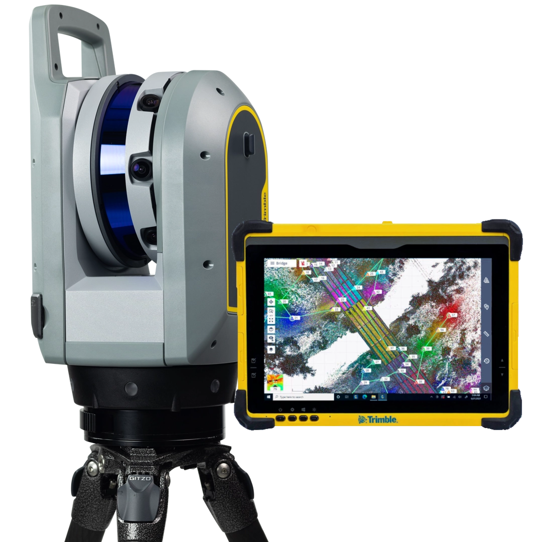
Terrestrial Laser Scanning
Terrestrial laser scanning provides detailed surveys of buildings, facades, interiors, industrial facilities, and engineering structures in densely built-up areas. Scanning is performed from multiple stations, each capturing millions of measurement points within a short time, creating a reliable foundation for design, condition assessment, and BIM modeling.
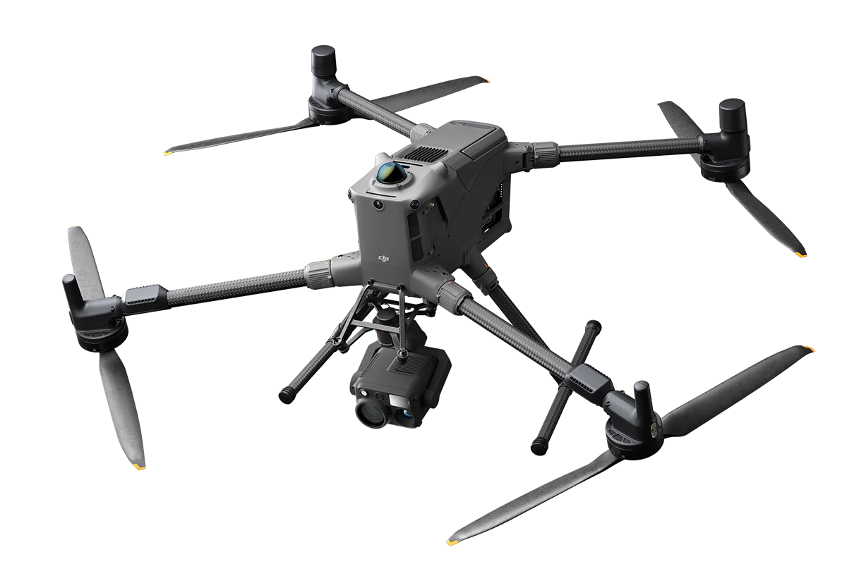
Airborne Laser Scanning
Airborne laser scanning enables the rapid and accurate surveying of large-scale, hard-to-reach, and densely vegetated areas. Thanks to LiDAR technology, which captures measurements through gaps in vegetation and reaches the ground surface, we can collect reliable terrain, infrastructure, and environmental data in a single flight. The resulting information provides a reliable foundation for topographic, engineering, and surveying projects.
Architectural Surveying
Surveying and documentation of existing buildings for reconstruction, renovation, restoration, or archival purposes.
Energy Efficiency
Developing energy-efficient renovation projects for existing buildings and historic landmarks based on detailed energy assessments.
3D Visualization
Creation of high-quality photorealistic 3D visualizations, animations, and interactive models for the presentation of architectural projects and spaces.